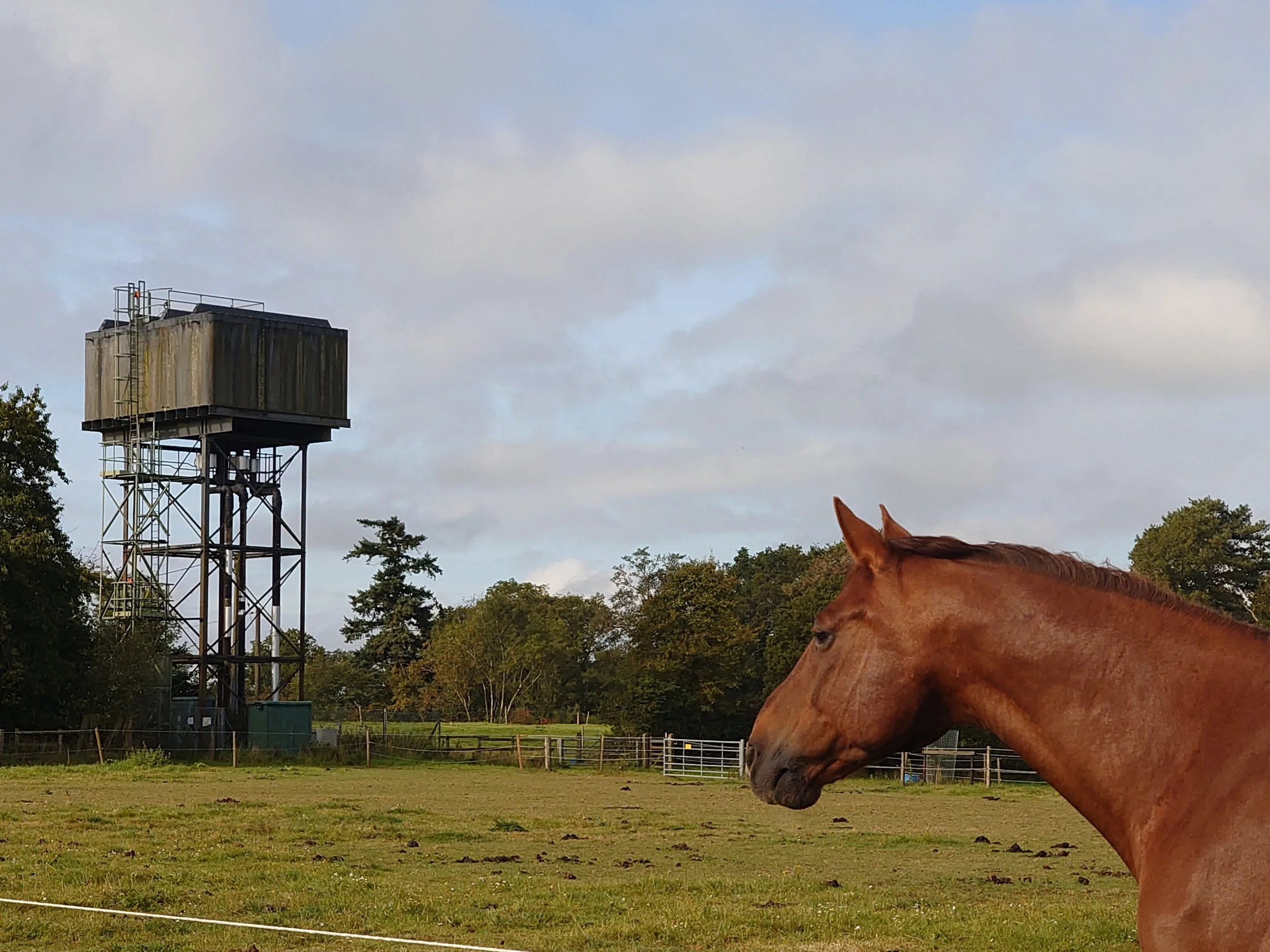
Service Reservoirs
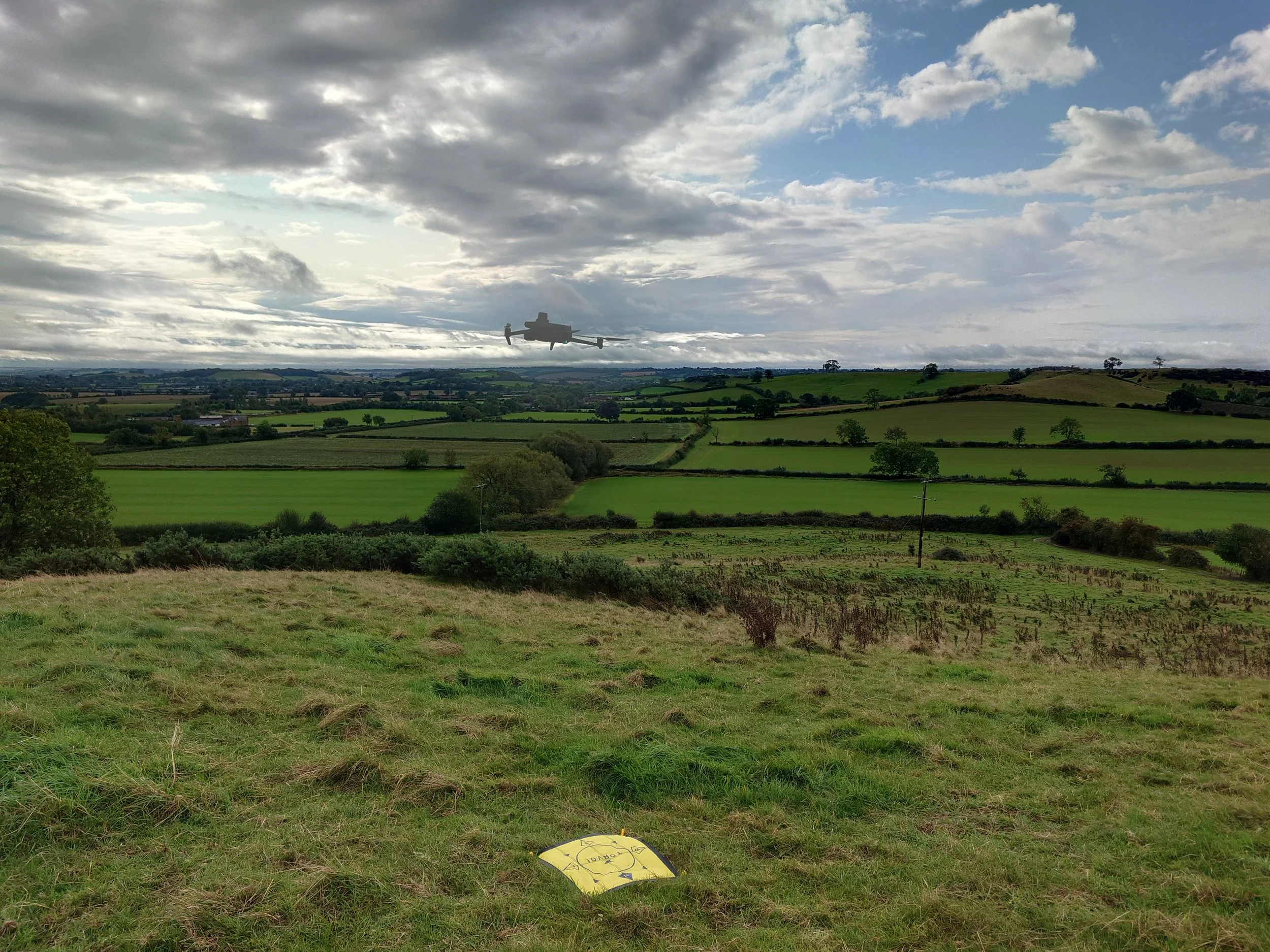
The decision to employ unmanned aerial vehicles (UAVs) for the topographical survey of the proposed service reservoir site underscores our commitment to delivering exceptional results even in the most challenging terrain. By leveraging UAV technology, our company not only overcame the obstacles posed by difficult terrain but also enhanced the efficiency, accuracy, and effectiveness of the surveying process.
One of the most significant advantages of using UAVs for this project was the ability to navigate and capture data in terrain that would have otherwise been inaccessible or impractical for traditional surveying methods. The rugged and uneven landscape of the site presented numerous obstacles to conventional surveying equipment and personnel, making it difficult to obtain accurate and comprehensive topographical data. However, with UAVs, we were able to effortlessly maneuver through the terrain, capturing high-resolution aerial imagery from vantage points that were previously unreachable.
Furthermore, the utilisation of photogrammetry techniques enabled us to generate detailed 3D models of the terrain with unprecedented precision and clarity. By stitching together thousands of aerial images captured by the UAVs, we were able to create highly accurate digital representations of the site's topography. These models not only provided invaluable insights into the contours, elevations, and features of the terrain but also served as a foundation for informed decision-making and planning throughout the development process.
The integration of the latest software and technology further enhanced the value of the UAV-based survey. By employing advanced photogrammetry software, we were able to process and analyse the vast amounts of data captured by the UAVs with remarkable speed and efficiency. This allowed us to rapidly generate detailed maps, elevation profiles, and volumetric calculations, providing our client with comprehensive insights into the site's characteristics and potential challenges.
Moreover, the use of UAVs for topographical surveying exemplifies our commitment to sustainability and environmental stewardship. By minimising the need for heavy machinery and ground-based surveys, we significantly reduced the ecological footprint of the surveying process while still delivering superior results.
In conclusion, the utilisation of UAVs for the topographical survey of the proposed service reservoir site represents a paradigm shift in surveying methodology. Through innovation, efficiency, and technological excellence, we have not only overcome the challenges posed by difficult terrain but have also set new standards for excellence in the field of land surveying and development.


