Our services.
Red Kite UAV specialises in photogrammetry to produce 2D and 3D Mapping suitable for Land Surveying and Construction.
Using predetermined flightpaths calculated by Red Kite UAV , we can capture 2D aerial images that are then overlapped to produce an orthomosaic of the site. This enables the capture of X/Y Coordinates along with RGB Colour values, that can assist in the calculation of dimensions and areas, and furthermore basic land cover models that can be analysed using the latest GIS and CAD Software.
Alternatively Oblique aerial imagery can be captured, and where these images are captured at angles between 30ᵒ and 45ᵒ, these can be overlapped to create a 3D mesh of the site and/or structures, and with the utilisation of GIS and CAD Software we can accurately calculate dimensions, including volumes for cut and fill calculations.
We can generate 3D Point clouds that allow for a 3D exploration of your site/structure, generate Digital Surface Models (DSM) that allow for topographical mapping and further surface analysis.
When mapping we avoid shadows and very windy days because moving trees, objects and leaves can affect the final results.
Aerial Mapping
Site and Structural Inspections
Commercial and Industrial sites can be dangerous environments and through the use of UAVs, the inspections of these sites can be made more efficient with increased safety, reducing the health and safety risks to those involved, providing digital data to the site managers and operatives in the comfort and safety of the office both as digital copies and/or viewed in real time.
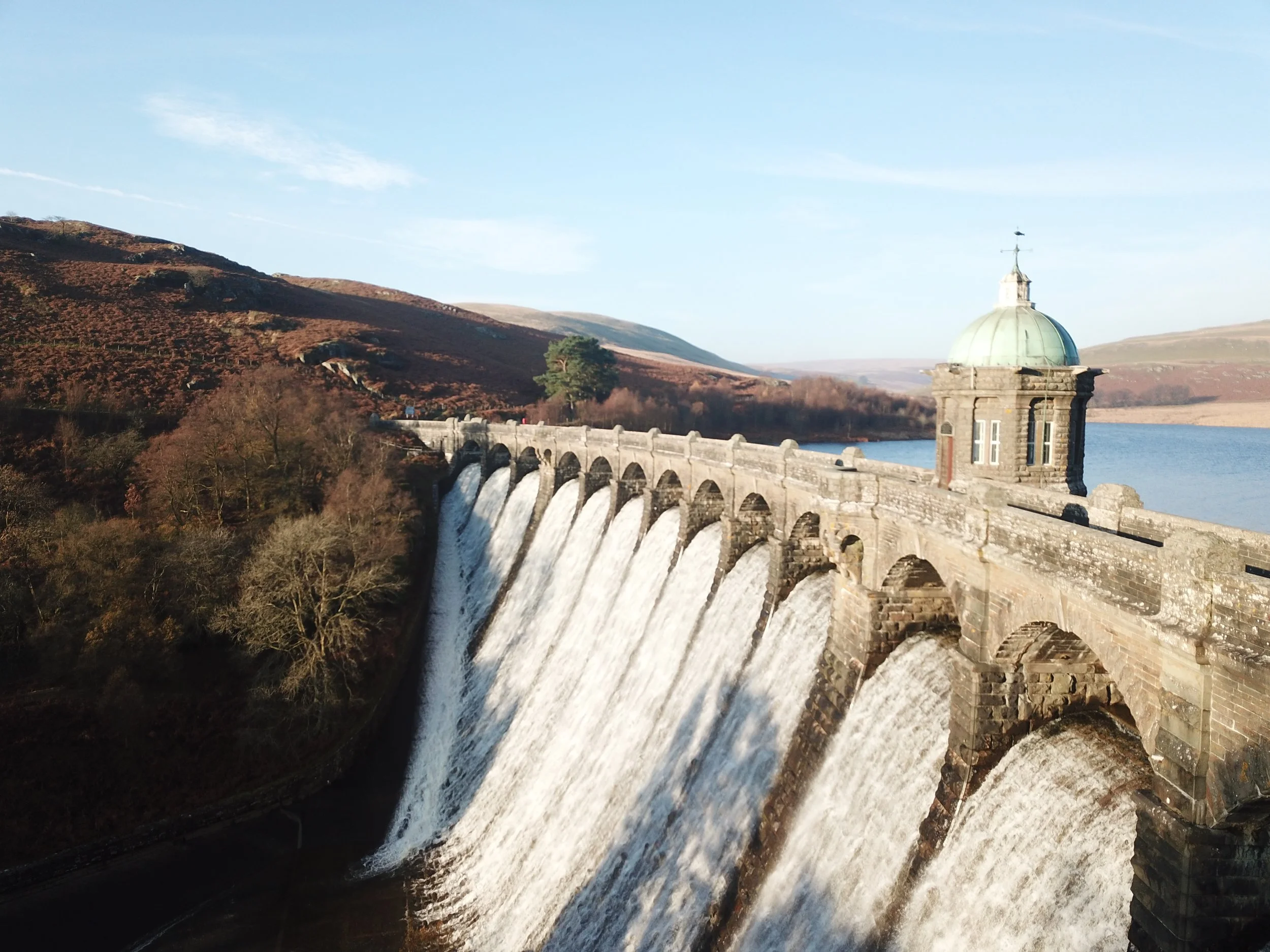
Inspections at height and around water also provide a significant risk to health and safety which drones can eliminate, helping to remove the need and cost of elaborate rigging that would usually provide human access to these hard-to-reach locations such as roofs, bridges, and river embankments. A UAV can provide high resolution imagery and videos of the structures, zoom in and highlight potential defects, providing a more accurate analysis that can better inform decision making.
We undertake the relevant planning, to ensure our clients can enjoy a hassle free, efficient, and informative delivery of inspection surveys.
Utilities & Assets Drone Survey and Inspections
The use of drones can assist with the inspection of Wind Turbines, Photovoltaics, and other utility assets, helping to improve efficiency, quality of data, and importantly safety.
Drones can provide high resolution imagery and videos of utility structures, zoom in and highlight potential defects, providing a more accurate analysis, and a greater volume of data that can better inform decision making, producing a more cost-effective approach than traditional methods.
Photography and Videography
Our Photography and videography services produce cost-effective aerial cinematography and imagery with shooting angles, and transitions that were previously only available on large production budgets.
We use the latest in drone technology to provide stable and sharp imagery using the best gyro-stabilised gimbals, and 4k capable cameras.
Our aerial drone photography, filming and video services include:
Marketing Videos and Imagery – Product Launches, Promotions and Tourism
Estate Agents Aerial Imagery
Commercial Property Aerial Photography
Sporting and Organised Events
360ᵒ Aerial Panoramic Imagery – Showcasing businesses to increase and enhance their presence and rank in Google Map searches.
Night Photography and Filming


