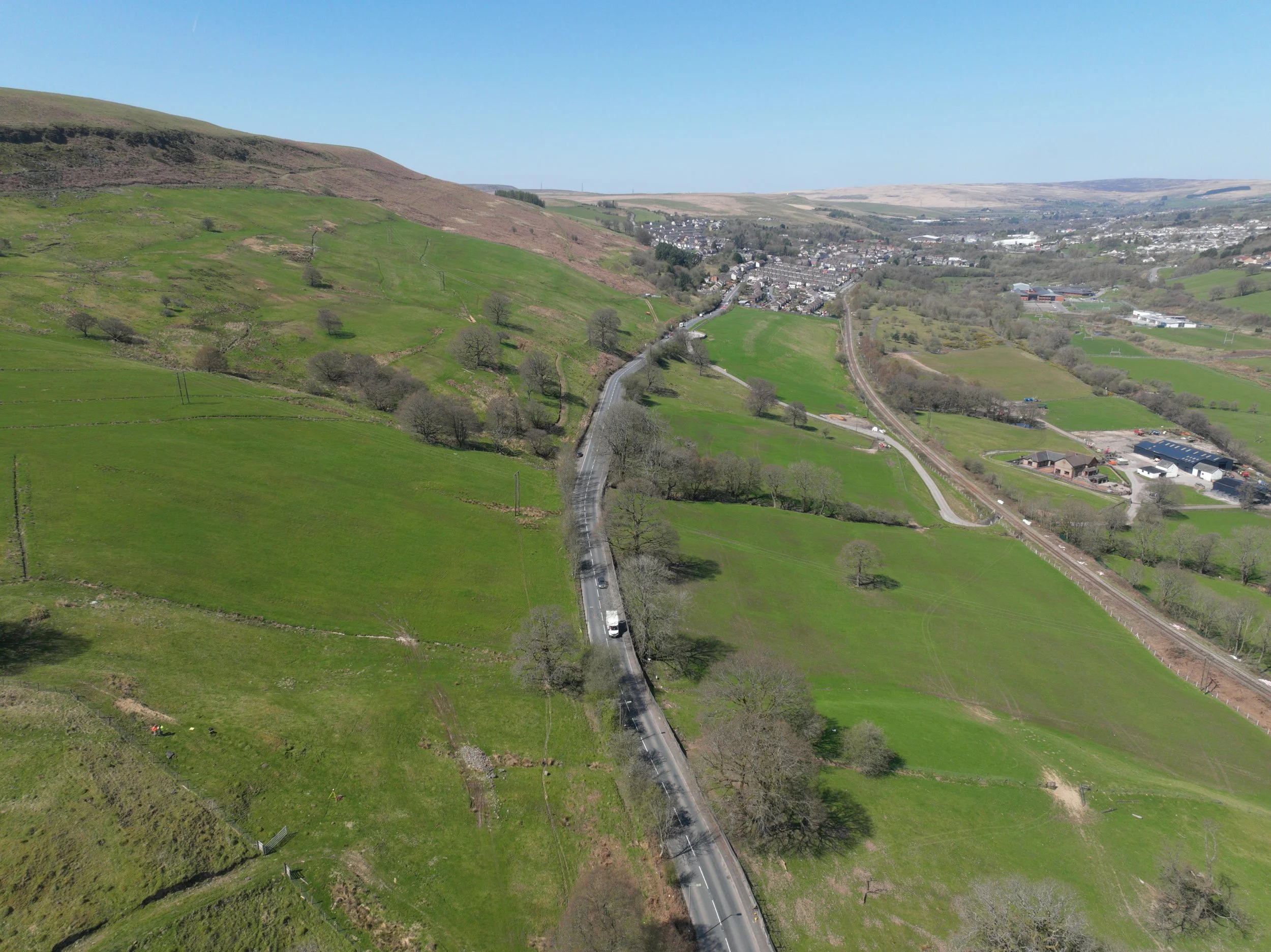
Rhymney Valley
Red Kite UAV's mission to conduct a highly detailed topographical survey of a vast area in the Welsh valley represents a pivotal step in monitoring and mitigating the impacts of mountain-side movement. The use of UAVs for this critical task has not only streamlined data collection but has also ensured efficiency and safety over challenging terrain.
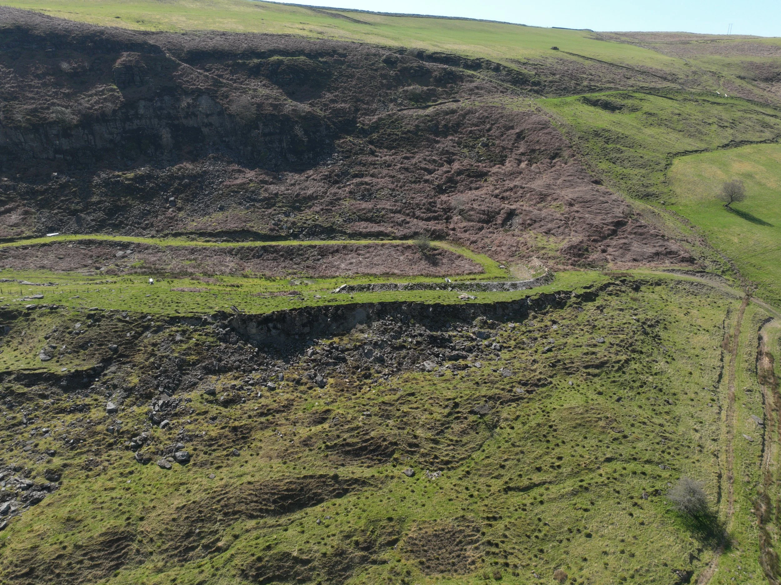
In the wake of mountain-side movements that have led to the demolition of residential buildings and damage to vital infrastructure such as the main road, the need for accurate and timely information cannot be overstated. Red Kite UAV's deployment of UAVs has provided the client with a swift and comprehensive solution to monitor these changes and make informed decisions to mitigate further damage to essential infrastructure.
One of the primary advantages of using UAVs for this undertaking is their ability to navigate and capture data over difficult terrain safely and efficiently. Unlike traditional surveying methods, which may be hindered by rugged landscapes and inaccessible areas, UAVs offer a versatile solution that can reach even the most remote locations with ease. This capability ensures that no area of the Welsh valley is left unobserved, allowing for a comprehensive understanding of the mountain-side movement and its impact on the surrounding environment.
Furthermore, the use of UAVs enables the rapid capture of detailed information, providing the client with timely insights to guide their decision-making process. By leveraging high-resolution imagery and advanced mapping technology, Red Kite UAV has facilitated the creation of precise topographical models that accurately depict the terrain and its changes over time. This information empowers the client to proactively address potential risks and implement measures to safeguard essential infrastructure and the surrounding community.
Moreover, the deployment of UAVs underscores Red Kite UAV's commitment to safety and efficiency. By minimising the need for personnel to physically access hazardous areas, UAVs mitigate risks and ensure the well-being of both surveyors and residents alike. This approach not only enhances safety protocols but also expedites the surveying process, allowing for timely interventions and mitigating further damage to the valley's infrastructure.
In summary, Red Kite UAV's use of UAVs for the topographical survey of the Welsh valley exemplifies the transformative potential of technology in addressing complex challenges. Through efficiency, safety, and timely data acquisition, UAVs have provided the client with invaluable insights to navigate the impacts of mountain-side movement and protect essential infrastructure. As technology continues to evolve, UAVs will remain indispensable tools for monitoring and managing environmental changes, ensuring the resilience and sustainability of communities in vulnerable regions like the Welsh valley.